

FireVector
FLAGSHIP PRODUCTWildfire modelling and planning brought together.
Put the landscape in context
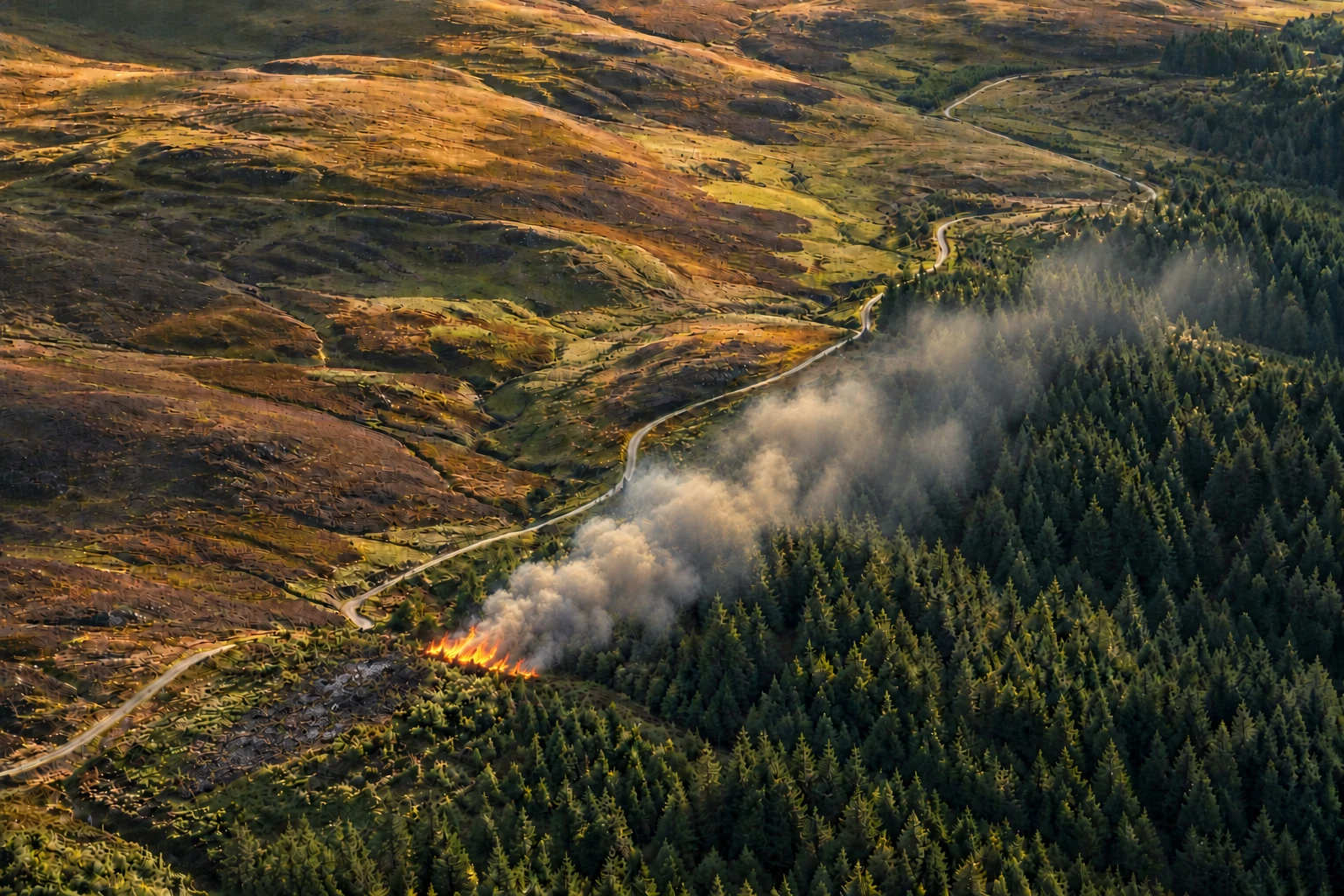
Bring together OS mapping, weather, fuels and terrain to explore how a wildfire scenario could realistically develop.
Work from a shared picture
Record incidents, committed resources and updates, with local, regional and national views governed by service permissions.
Make the next briefing easier
Connect incident updates with the NFCC wildfire assessment and METHANE reports, for incident planning and training.
FVExplore a scenario
↑
INTERACTIVE CAPABILITY GUIDEFireVector model replay on fictional grassland and woodland. After +30 min the wind turns towards the south-east. The dashed line shows the previous 15-minute perimeter.
For structured evaluation, planning and exercises. Modelled spread is an estimate; operational decisions require professional judgement and current information.